

The Longest Rail-Trail In America Is A 239-Mile Biking Journey With Beautiful Fall Foliage
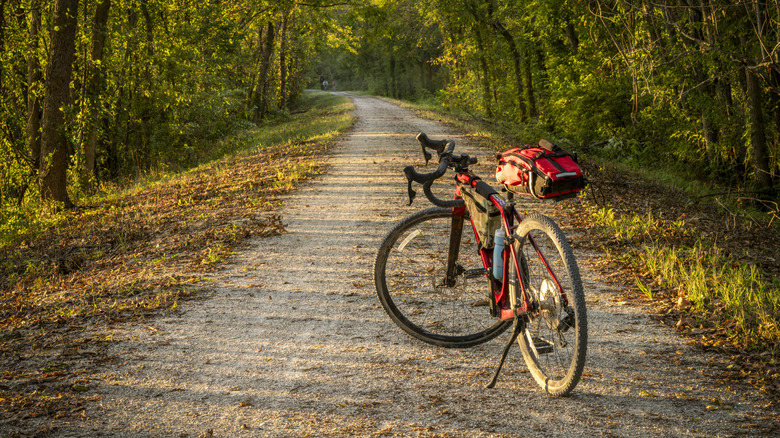
Following America's "railroad fever" from the mid to late 1800s, travelers began to prefer automobile and airline travel to train journeys, and hence, many railways fell into disuse. Less than a century later, the rails-to-trails movement was born when a group of innovative individuals began converting deserted railways into public paths. Today, more than 25,000 miles of rail-trails criss-cross the country, providing car-free recreational thoroughfares for cyclists, pedestrians, wheelchair users, equestrians, inline skaters, cross-country skiers, and others on the move. Andamong the more than 2,400 rail-trails across the U.S., one that stands out is Missouri's Katy Trail near St. Louis.
As one of only 30 routes to be inducted into the Rail-Trail Hall of Fame, it's one of America's top rail-trails, drawing 400,000 visitors every year on average. It's also the country's longest, spanning 239 miles from the town of Clinton in the west to Machens in the east. The trail's name is derived from the nickname given to the historic rail line it follows: "K-T," referring to the Missouri-Kansas-Texas Railroad. The railroad closed the K-T line in the 1980s after a series of damaging floods near the Missouri River. This led to the line's establishment as a rail-trail, and in 1990, the Katy Trail's first section opened to the public.
If you're a cyclist looking for your next exhilarating ride, set your sights on the Katy Trail. Aside from being the longest rail trail, it's one of the most scenic U.S. bike trails to add to your bucket list. Whether you do a small section or embark on a multi-day adventure, here is everything you need to know to plan your two-wheeled trip on this crushed-limestone path through Missouri.
Highlights of the Katy Trail
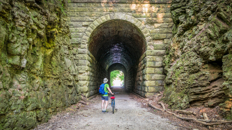
Cyclists can access the Katy Trail via 26 different trailheads scattered across its length. To help you choose the best segment for your trip, here's a broad overview of the route, along with some highlights and their specific locations. As the Katy Trail makes its way east from its western terminus at Clinton to the town of Machens, it passes through peaceful Midwestern landscapes — from farmlands and forests to wetlands, valleys, and remnant prairies.
For 165 miles from Boonville to Machens, the trail traces a glorious stretch of the Missouri River that was explored by Lewis & Clark on their Corps of Discovery Expedition in the early 1800s. This section is now designated part of the Lewis & Clark National Historic Trail, and it encompasses some of the trail's most spectacular views. Within this segment, the stretch from Rocheport to McBain is the most iconic, with its soaring limestone bluffs, gorgeous river views, and the Rocheport Tunnel — the Katy Trail's only tunnel. Moving east, the stretch from Portland to Treloar features more scenic bluffs and river views, plus lovely tree canopies and access to the Grand Bluffs Conservation Area, a 236-acre park with tall bluffs that are nesting spots for Canada geese.
As memorable as the ride itself are the stops cyclists can make to check out dozens of quaint towns on or near the route, along with restored train depots and around 30 different wineries. From west to east, some visitor-recommended towns include Boonville, home to the iconic Katy Bridge as well as a vibrant historic downtown, and Rocheport,which boasts its famous tunnel along with art galleries, chic eateries, and a few wineries. More wineries are located along the easternmost stretch from Augusta to St. Charles, with must-stop St. Charles offering another vibrant historic district plus the Lewis & Clark Museum, which commemorates the explorers' trailblazing journey.
Planning your cycling adventure on the Katy Trail
An important consideration when planning your Katy Trail adventure is the weather, especially if you're doing an extended trip. Winter is not an optimal time, as facilities like bathrooms and water fountains may be closed, and the trail may be icy. Spring offers mild temperatures in the 50s to 70s Fahrenheit, but rain is common and can make sections of the trail muddy. Many cyclists opt for summer trips, but bugs, humidity, thunderstorms, and heat peak at this time, with daytime temperatures often reaching the 90s.
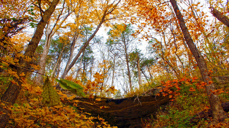
One of the best times to ride is from early September to mid-October, when it's cooler and there are fewer insects. Another advantage of autumn is the opportunity to see fall foliage. The foliage here tends to peak in mid-October, when the region's hardwoods don their brightest fall colors. Riders must be careful when leaf peeping from their bicycles, though, as fallen leaves on the trail can hide bumps and cracks and make the trail more slippery.
The Katy Trail's eastern terminus in Machens sits just north of St. Louis, a budget-friendly Midwestern city that offers tons of fun things to do. A private or rented vehicle is the best way to get to Machens and other towns along the route, but Amtrak service is also available from St. Louis to Washington, Hermann, Jefferson City, and Sedalia. Cyclists doing multi-day trips have a wide array of accommodation options for their overnight stays, including sleeping under the stars at campgrounds along the trail and resting their heads under a proper roof at hostels,
hotels, vacation home rentals, or B&Bs. Those who want someone else to handle their travel logistics can hire a Katy Trail outfitter. These companies provide individual services like basic trip planning, equipment rental, shuttle service, luggage transport, and lodging reservations, as well as all-inclusive tours.