
The Longest Multi-Use Trail System In The World Is A Cross-Country Journey Through Canada
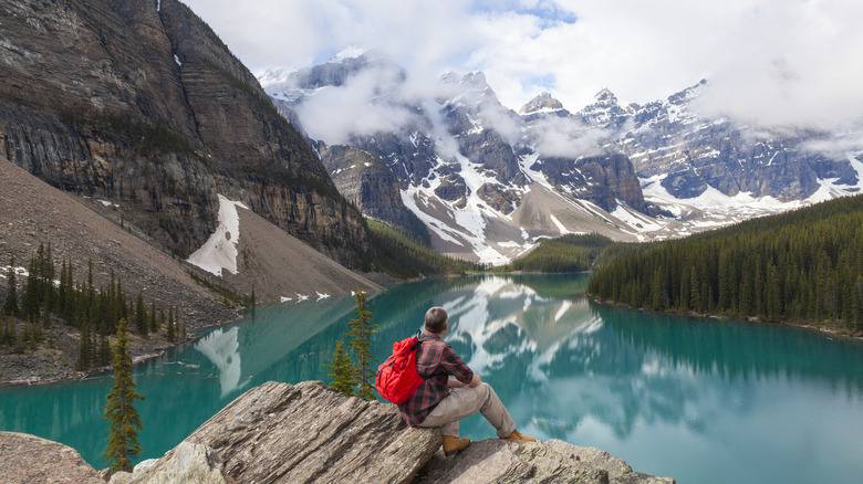
Imagine walking from east to west across the United States, then doing it another five times. You still wouldn't have come close to finishing the Trans Canada Trail, or The Great Trail as it is also known. Such is the scope of the world's longest multi-use trail system that completing it seems unimaginable. Yet it has been done, and more than once.
Starting at Cape Spear in Newfoundland in the east and ending at Clover Point in British Columbia in the west, or vice versa, the epic 18,641-mile trail passes through every Canadian province and territory. It connects the coastlines of the Pacific, Atlantic, and Arctic oceans via a network of trails and waterways and makes the 2,197-mile Appalachian Trail look like a walk in the woods. While the latter takes an average of five to seven months for a thru-hiker to complete, for Dianne Whelan, the first person to complete the Trans Canada Trail, it took six years. That said, most people tackle it in sections, and it has more than 200 million visits each year.
Established in 1992 during Canada's 125th anniversary celebrations, the trail was created as a way to bring Canadians together and encourage them to discover the country's diverse natural and cultural heritage. Managed by the non-profit Trans Canada Trail, and only made possible by the hard work and generosity of dedicated volunteers and donors, the trail has allowed people from around the globe to experience the unspoiled natural beauty of Canada's vast and rugged landscapes.
Exploring the Trans Canada Trail
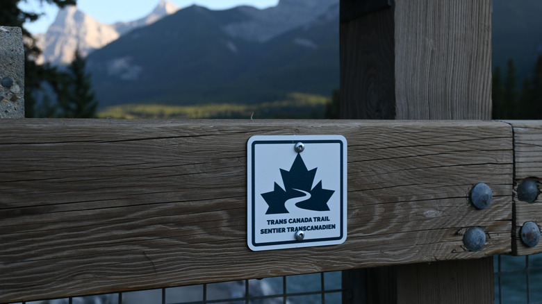
The Trans Canada Trail is made up of more than 400 individual trails, greenways, rail trails, pathways, and waterways in some of Canada's most beautiful places. Around 77% are on land and 23% on water, so you're not limited to just hiking. There are plenty of sections ideal for paddling, cycling, and horseback riding, or skiing and snowshoeing during the winter months, making it much more accessible than it first seems.
As expected, it passes through an extraordinarily diverse range of landscapes, from major cities, including Ottawa, Montréal, and Québec City, the perfect place for a winter vacation, to remote communities in the territories, and from lush temperate rainforests to frozen Arctic tundra. Accessibility depends on the time of year, with some sections like British Columbia open all year round, while high mountain passes through the Rockies are best avoided in the winter months. Many sections pass through the territories of First Nations, Inuit, and Métis peoples, and the trail includes culturally and historically important sites. There's plenty of wildlife to look out for too, from whales, seals, and puffins along the coastline to bison in the prairies and moose, wolves, and bears in the forests and mountains.
As picture-postcard-perfect as it is, some stretches follow roads, and the longer rail trails can feel somewhat repetitive. Some Reddit users have pointed out some of the trail's logistical challenges, with u/agaperion commenting, "Unless Canada builds snow shelters at regular intervals along the trail, this will continue to be a huge deterrent for a large portion of the relevant demographics." It's also worth noting that due to the remoteness in some sections, phone signals and supplies can be few and far between.
Highlights along the Great Trail in Canada
To find the trailhead nearest to you, check the interactive map on the Trans Canada Trail website. Here you can filter sections by surface, distance, and activity, and the map is also available to download, which is advisable given the lack of signal in many areas. There are many highlights along the Trans Canada Trail, starting with the East Coast Trail in Newfoundland. This 208-mile section follows the wild Atlantic coastline, passing through boreal forests and colorful fishing villages. Look out for puffin colonies, migrating humpback whales, and historic lighthouses as you set out from the easternmost point of North America.
The Lake Superior Water Trail in Ontario places you in the heart of the world's biggest freshwater lake, giving you a chance to put your paddling skills to the test. Take a moment to go ashore in remote Pukaskwa National Park, one of North America's least visited national parks, and look out for black bears and river otters. The vast prairie grasslands of Saskatchewan hold both historical and cultural interest. Home to Indigenous peoples for thousands of years, this region contains routes traditionally used for buffalo hunting and the fur trade, with important gathering places where treaties were signed such as in Qu'appelle Valley. The trails here are suitable for hiking, cycling, and horseback riding with some water sections along the Chief Whitecap Waterway.
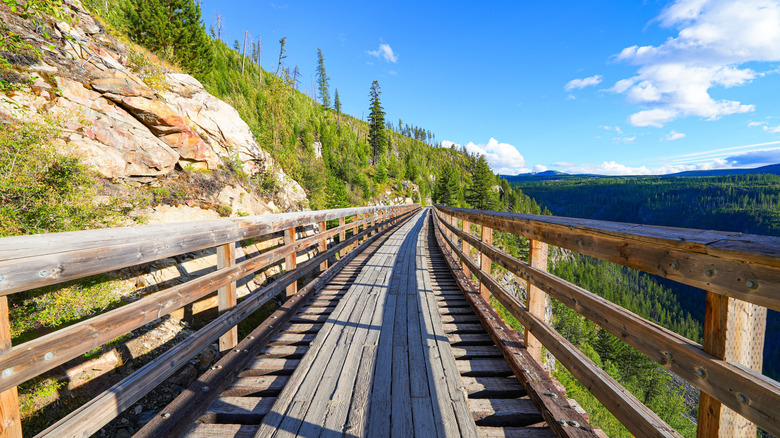
The Kettle Valley Rail Trail in British Columbia is a hugely popular section of the Trans Canada Trail. Passing over wooden trestle bridges, through railway tunnels, and alongside vineyards, there are spectacular views over the Okanagan Valley. The gravel surface and gentle slopes on this section are well suited to cycling. And if you're tackling the whole trail, rest assured you've nearly made it to the finish line!