A Historic Movie Location Map Lets You Tour The World Without Leaving California

Before there were passports full of stamps or influencers posting from Paris, there was a map. A whimsical, wildly ambitious map drawn up by Paramount Pictures in 1927. The studio's now-legendary "California Filming Map" promised that you could tour the world without ever leaving the Golden State by heading to different filming locations with similar geography to international destinations. Want the Swiss Alps? Head toward the Sierra Nevada. Craving the Mediterranean? Try the rugged cliffs of Big Sur. Even the Sahara Desert, it insisted, could be found somewhere near the sunbaked dunes of Imperial County.
The map works as part marketing, part mythmaking. Hollywood was booming, and Paramount let filmmakers know that California could play any role the world required. Its valleys became Europe's rolling countrysides, its coastlines transformed into faraway shores, and its deserts doubled for Africa and Arabia. The artistry of the map was as much about geography as imagination, turning California into the ultimate backlot — a one-stop passport for global storytelling.
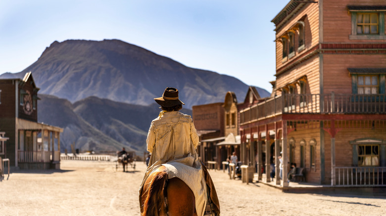
Nearly a century later, you can still follow that "itinerary." Drive north from Los Angeles to Lone Pine and you'll find the Alabama Hills, where cowboys once roamed and spacemen later landed. Wander the Santa Monica Mountains and you'll recognize the Italian hillsides of old Hollywood adventure films. The map, though drawn for directors, doubles beautifully as a traveler's guide to the extraordinary diversity packed within California's borders.
History, culture, and the Californian imagination
The Paramount map was born in a pivotal moment. By 1927, Hollywood was on the cusp of revolution — silent films were giving way to talkies, and the industry was expanding faster than the roads that led to it. The map captured California's promise as the cinematic capital of the world, where a short drive could transport filmmakers from a Mediterranean village to a tropical island or an English countryside.
More than a production aid, it reflected California's evolving identity. To the rest of the country, the state was already a place of reinvention: sun-washed, fertile, endlessly adaptable. Paramount's cartographers simply made that mythology official. They transformed geography into narrative, turning the American West into a stage for the entire globe.
Nearly a century later, the map stands as a piece of Hollywood archaeology, a playful artifact that reveals how studios sold dreams long before digital effects existed. Scholars now see it as a blend of art, marketing, and cultural self-portraiture — proof that California wasn't just a setting for film, but a stand-in for imagination itself.
Rediscovering the map today

For travelers and cinephiles alike, retracing Paramount's old map offers a new way to explore California. Start with "Venice," where canals and pastel facades once stood in for Europe on silent film sets. Then head inland to the Mojave, where the cracked earth and endless skies have doubled for alien planets and Arabian nights alike. North of Santa Barbara, the rolling vineyards of underrated wine destination Santa Ynez could pass for Tuscany or, perhaps with the right lighting, the French countryside.
The map, preserved today in digital archives and film history collections, feels like an invitation: to see familiar places with a touch of cinematic wonder. Every hill becomes a horizon, every coastline a faraway dream. Whether you're driving Highway 1 or tracing Paramount's old filming routes, the journey feels layered: with history, with invention, and with that enduring Hollywood belief that the world is as wide as you imagine it to be.