This Incredibly Intimidating Hiking Trail In North America Is Not For The Faint Of Heart

As the song goes, America the Beautiful stretches "from sea to shining sea!" But have you ever considered crossing North America from sea to sea on-foot, truly experiencing the beauty of the land up close? It might sound intimidating, but the trail exists (sort of), taking you from the wild shores of the Atlantic in Canada to the crashing Pacific in Washington.
What do we mean that the trail "sort of" exists? Well, in contrast to better-known long-distance hikes like the Appalachian Trail or even the coast-to-coast American Discovery Trail, the Sea-to-Sea Route (C2C) is still finding its sea legs. Or its trail legs, perhaps. It's a piecemeal network of existing trails that runs around 7,800 miles from Cape Gaspé in Quebec to Cape Alava in Washington.
The C2C is almost unbelievably long, and very few people are known to have completed it. It would take most hikers more than a year to traverse from end to end. But each section of the route takes in some of the most epic beauty North America has to offer, from vast prairies to soaring peaks, and rugged coastlines to the Great Lakes.
The sea-to-sea route across North America

The C2C was first proposed by trail enthusiast Ron Strickland, who was behind the creation of the Pacific Northwest Trail. Strickland's wish was to connect several existing trails and create a couple new parts to make one epically long, jaw-droppingly beautiful hike. The first person known to walk the C2C was Andrew Skurka, who spent 11 months on the hike in 2004–2005. If you want to follow in Skurka's footsteps, here's how you can do it.
Working from east to west like Skurka, you start out at Cape Gaspé in Quebec, Canada, picking up the International Appalachian Trail. From the precipitous cliffs dropping into the roiling Atlantic, you walk inland and follow the Tobique River through New Brunswick to the US border. There, you hit Mount Katahdin and the Appalachian Trail. Be warned: hiking this region in winter is not for the faint-hearted!
In Vermont, you hop over onto the North Country Trail, the longest National Scenic Trail in America at 4,800 miles. You'll be on this trail for a while, but never tire of the ever-changing scenery. Passing through eight states from Vermont to North Dakota, the trail follows the shoreline of three of the Great Lakes, goes through the tranquil Boundary Waters in Minnesota, and ends on the North Dakota plains.
Hiking the Sea-to-Sea to the Pacific
It's in North Dakota that the network of trails making up the C2C peters out for awhile. There's an 800-mile gap in North Dakota and Montana (though 800 miles is just a blip compared to the entire length!). If you're intent on completing the entire journey on-foot, you'll need to resort to road walking, forging your own route. But it'll be worth it, as in Montana, you join the spectacular Continental Divide Trail, walking towards the Canadian border through the snow-capped peaks of Glacier National Park, the "Crown of the Continent."
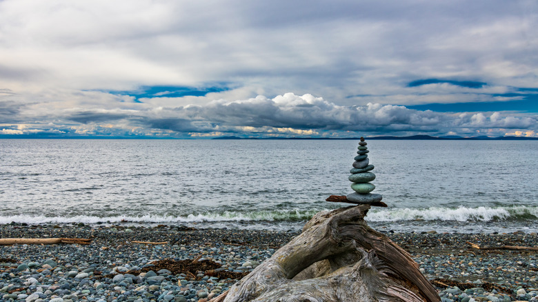
From there, you turn toward the coast on Strickland's Pacific Northwest Trail. The route winds 1,200 breathtaking miles across northern Montana, Idaho, and Washington, through the Rockies and the North Cascades, to Puget Sound and the Olympic Peninsula. Then, you reach the end of your epic C2C trek at the westernmost point of the continental US at Cape Alava. Plunge into the Pacific Ocean as you listen to the barking sea lions and celebrate your incredible accomplishment!
For most, taking a year out to hike almost 8,000 miles isn't a possibility. But each section of each trail that makes up the C2C can be tackled individually. It's a piecemeal network anyway, so you can connect the dots your way to complete an epic coast-to-coast hike across North America.