

Colorado's Former National Monument Is Now An Iconic Mountain Destination To Bag A 14er
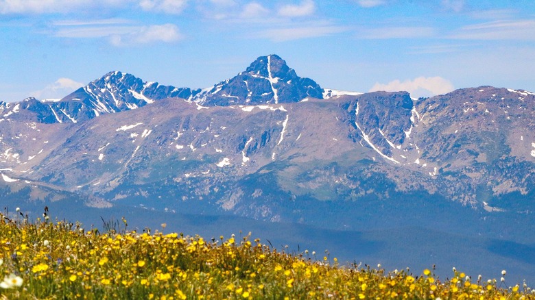
A 14,007-foot peak in Colorado's Rocky Mountains may have lost its national monument status, but it stands as tall and proud as ever. Mount of the Holy Cross first gained widespread recognition after an 1873 photograph captured what appeared to be a giant white cross etched into its northeast face but was actually a snow-dusted vertical rock seam bisected by a snowy horizontal ledge. Awestruck by the visual phenomenon, some Christians interpreted it as a sign from God endorsing America's westward expansion. In the early 1900s, parishioners, youth groups, faith healers, and others began making pilgrimages to the area to pray and reflect near the cross-bearing mountain.
In 1929, President Herbert Hoover declared Mount of the Holy Cross a national monument, but its days would be numbered. The monument was abolished in 1950, with officials citing its remote location, difficult terrain, and low visitation numbers as the reasons behind the decision. Mount of the Holy Cross was neither the first nor the last national monument to lose its designation. Between 1930 and 1980, 10 others suffered the same fate. But these former monuments didn't just go away. Many became part of other protected areas, including national forests and state parks.
These days, Mount of the Holy Cross continues to inspire visitors as the crown jewel of the iconic 123,409-acre Holy Cross Wilderness area, which, in addition to the peak, includes glacier-carved valleys, spruce and fir forests, dozens of shining alpine lakes, and clear, rushing streams. More than 150 miles of trails weave through this rugged wilderness, drawing nature lovers, hikers, backpackers, and mountaineers. The most legendary route, the 11.4-mile Mount of the Holy Cross Trail #2009, climbs more than 5,000 feet to the summit of the sacred "14er" (a mountain peak with an elevation exceeding 14,000 feet). Are you brave enough to try it?
Summitting Colorado's Mount of the Holy Cross
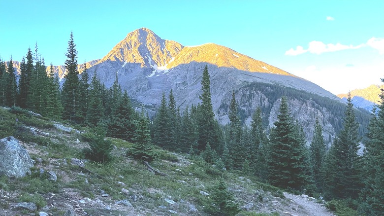
On 14ers.com, which rates Colorado's 14er hikes according to their difficulty, the Mount of the Holy Cross Trail (#2009) is listed as Class 2, or intermediate. But it's more difficult than that rating may suggest due to its up-and-down nature, with more than 8,000 feet of elevation change overall. The Mount of the Holy Cross Trailhead is located southwest of Vail, a favorite Western winter hot spot that's pretty sweet in summer, too. To reach the trailhead, hikers must drive roughly 8 miles along the rugged Tigiwon Road from U.S. Highway 24.
From the parking area of the trailhead, the rocky path ascends through dense conifer forest to Half Moon Pass. From there, it switchbacks down to East Cross Creek, where 10 designated campsites await those doing an overnight excursion. These sites are first-come, first-served. After the campground, the trail begins its daunting climb past the tree line to the summit. "I have never experienced such unrelenting steepness in my life," wrote the Seeking Timberline blogger about this part of the trail. "Like climbing the stairs of a 100-plus story office building."
Closer to the summit, the trail becomes a boulder scramble that requires both hands and feet, with large cairns marking the route. Those who manage to reach the top are rewarded with truly magnificent views: endless peaks interrupted by deep valleys and dotted with turquoise lakes. You can even see the famous back bowls of the Vail Ski Resort from here. Take care to follow the cairns on the descent, as hikers warn that it's easy to lose the route on the way down. Unfortunately, what you don't see from this route is the famous cross formation due to its position on the mountain. If you want to see the cross, the best views are from Trail #2000 on nearby Notch Mountain. This is another strenuous trail with around 2,900 feet of elevation gain.
Planning your Mount of the Holy Cross adventure
Keep in mind that the best time of year to climb tall mountains in Colorado is from late June through September, when high-elevation trails are mostly free of snow. July and August are great times to see colorful wildflowers blooming in the meadows, while in September, the aspens add pops of brilliant yellow to the deep-green forests.
Looking to bag a few more 14ers while you're in the area? Some of Colorado's easiest 14ers — Quandary Peak, Grays Peak, and Torreys Peak — are located in the mountainous region between Mount of the Holy Cross and Denver. The 6.75-mile Quandary Peak Trail is less than a two-hour drive southeast from Mount of the Holy Cross near the town of Breckenridge, while the trailhead for the combined 8.25-mile route hitting both Grays and Torreys Peaks is roughly 1.5 hours east near the town of Keystone.
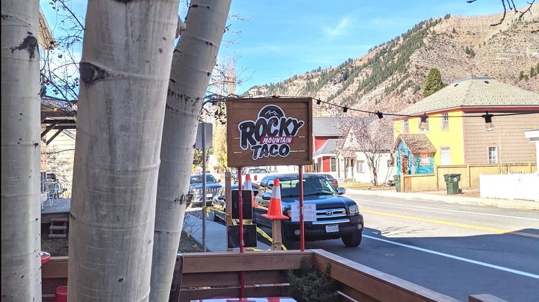
Every mountaineer needs a base camp! For your Mount of the Holy Cross adventure, nearby Minturn (11 miles from the trailhead) is a quieter spot to relax and refuel than the popular resort towns of Vail and Beaver Creek, which are also nearby. Colorful Minturn offers a variety of accommodations, from historic bed-and-breakfasts like the Minturn Inn to quirky spots like The Bunkhouse, which offers chic enclosed sleeping pods in a dormitory-style room as an alternative to a traditional hostel. Weary and famished athletes can eat and drink to their heart's content at the town's various bars and eateries. These include American-style grills and BBQ joints plus several international options like Thai and Mexican — not bad for a mountain town with a full-time population of less than 1,000 people.