

Forget Big Basin, This State Park Is A Hidden Gem With Redwoods & Fewer Crowds
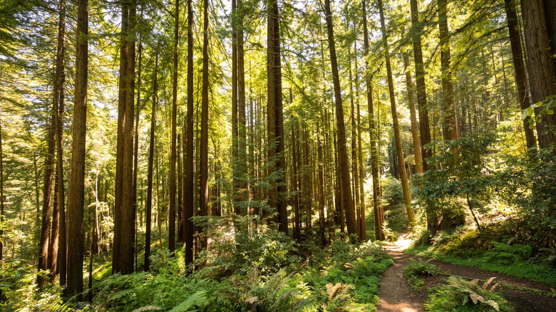
If you are heading to California in search of redwoods, you won't be disappointed — some of the best destinations to see giant sequoias and redwoods in the world are in the Golden State. There are plenty of stunning, old-growth forests up and down the California coast where these majestic, towering specimens cast their breathtaking shade on hard-packed trails, and there's nothing like a stand of redwoods or sequoias for a forest-bathing experience.
Kings Canyon National Park has some of the largest trees in the world, including the second-largest tree on Earth, the General Grant. Redwood National Park is an otherworldly gem, a World Heritage Site recognized for its rich ecological diversity. And, of course, Big Basin Redwoods State Park is home to the largest continuous stand of ancient coast redwoods south of San Francisco. But while none of these spots are crowded, particularly compared to more famous national parks like Yosemite and Yellowstone, sometimes you want to get completely off the beaten track and enjoy total seclusion, immersing yourself in the magnificence of nature with no distractions. If that's the case, then checking out the Forest of Nisene Marks State Park is a great idea.
Sitting 4 miles north of the overlooked coastal town of Aptos on Aptos Creek Road, just outside Santa Cruz on the California coast, the Forest of Nisene Marks State Park covers just over 10,000 acres. It is a quiet, peaceful retreat, away from the tourist trail, a beautiful second- and third-growth redwood forest that spreads from sea level to the Santa Cruz Mountains. It's easily accessible, just a short drive from Santa Cruz, and under an hour by car from San Jose Mineta International Airport (SJC).
Scenic waterfalls and breathtaking trees
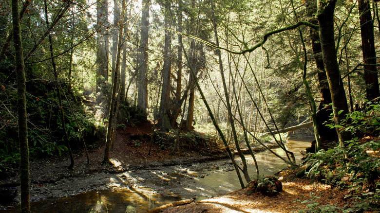
The Forest of Nisene Marks State Park is an ideal alternative to Big Basin for anyone who wants to see California's iconic redwoods. Its dense stands of second- and third-growth forest boast trees that are more than a century old, towering well over 100 feet above shaded trails. The park's landscape is fairly rugged, rising sharply from sea level to coastal mountains more than 2,600 feet high.
It is also on or near three of California's major geological fault lines, with the Zayante fault crossing Aptos Creek Canyon within the park, and the San Gregorio and San Andreas faults both just outside the park's boundaries. Due to seismic activity, visitors can see ancient marine rocks that have been exposed in various parts of the park's rivers, as well as Loma Prieta, a mountain created at the epicenter of an earthquake in 1989.
Another of the park's main highlights is Five Finger Falls, a remote, scenic waterfall hidden away deep in the redwood and tanoak woods. Consisting of five separate cascades (hence the name) that spill down a vertical cliff at the end of a beautiful trail, it is a picturesque, tranquil spot that is the perfect hiding place from the hustle and bustle of daily life. The small, cold-water pool beneath the falls is ideal for a cooling dip.
Great trails for hiking, biking, and running
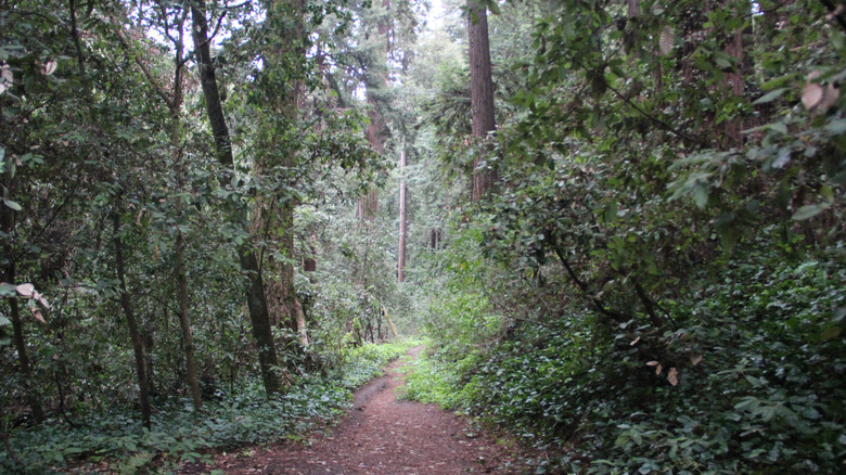
The Forest of Nisene Marks State Park is hugely popular with runners, hikers, mountain bikers, and horseback riders, thanks to its rugged, undulating terrain and fantastic network of trails. With over 30 miles of waymarked trails, it's the ideal place to enjoy outdoor recreation in semi-wilderness, without having to stray too far from civilization.
The Loma Prieta Grade Small Loop is a great place to start. It is a relatively gentle 6-mile loop, largely tracing the route of an old lumber railroad grade, which means the trail is pretty good going underfoot. You'll get plenty of opportunities to see redwoods, as well as fir, maple, alder, oak, and madrone, plus it's one of the best ways to see Loma Prieta, the peak at the epicenter of the 1989 quake. A slightly more challenging trek is to take the Bridge Creek Trail and Aptos Creek Road up to Maple Falls, a 10-mile out-and-back route that offers canyons, bridges, and a couple of river crossings, as well as the waterfall itself.
For the most serious hikers, the Sand Point Overlook beckons. Offering fabulous views over the forest and down to the coast, it is a great halfway point for a restful lunch. There's an excellent 15-mile loop route that runs along Aptos Creek Fire Road and the West Ridge Trail, with almost 2,000 feet of elevation in total.