Explore the island of witches, where mysticism meets nature in the Philippines. This unique destination promises a spiritual healing journey like no other.
Just because you see a "hack" online doesn't mean you should try it. This viral TikTok of a mom and her child on an airplane raised some safety concerns.
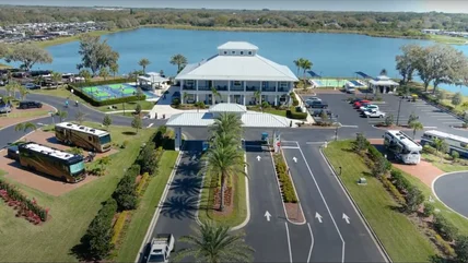
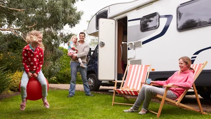
Whether you're looking for a short summer getaway or a longer winter escape, this luxury RV resort has everything you need for a comfortable camping adventure.
If you've ever successfully assembled a piece of Ikea furniture or enjoyed a plate of meatballs with lingonberry sauce, you'll love these attractions in Sweden.
You can tick this elusive animal off your great wildlife of the world bucket list by going on an intrepid adventure through a rainforest in rural Canada.
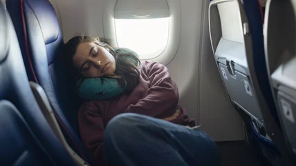
A popular TikTok hack recommends an innovative way to sleep more comfortably on a plane. But is it safe? We asked a veteran flight attendant to find out.
Whether you’re a child of the 1970s or were born later, you’ll love this quirky, iconic LA bar with the best vintage décor, clever cocktails, and a secret door.
Walking fast and being loud are just a couple behaviors that will out you as a tourist in Italy. If you're looking to blend in, here's what to avoid doing.
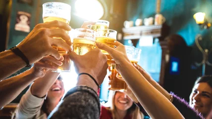
Everyone loves an underrated getaway, and this bourbon-sipping, history-making, sports-mad southern city is the perfect place for a spectacular summer vacation.
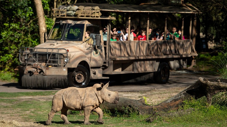
Capuchins, alligators, tigers, and more are given new life at this fantastic Florida wildlife sanctuary where visitors can meet the animals on a guided tour.
The tourist spots of Los Angeles are world-famous, but its nature often gets overlooked. If you prefer hiking to Hollywood, this is the adventure for you.
From white sandy beaches and a tropical pool to a historical monument and a ghost tour, lots of activities await you at this easy to reach Florida island.
Go beyond volleyball and basketball at this luxurious RV resort in Myrtle Beach, with activities like rock climbing, a water slide to a tiki bar, and karaoke.
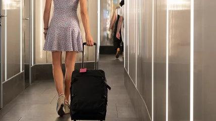
Balancing fashion with function can be difficult, especially regarding what to wear on a plane. But many agree it’s important to avoid this type of footwear.