Capuchins, alligators, tigers, and more are given new life at this fantastic Florida wildlife sanctuary where visitors can meet the animals on a guided tour.
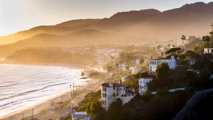
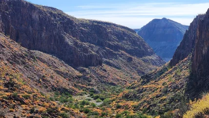
The tourist spots of Los Angeles are world-famous, but its nature often gets overlooked. If you prefer hiking to Hollywood, this is the adventure for you.
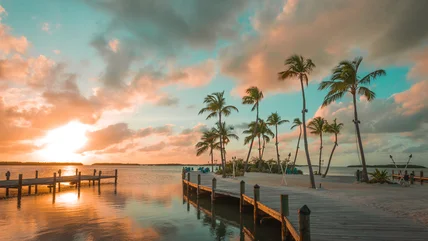
From white sandy beaches and a tropical pool to a historical monument and a ghost tour, lots of activities await you at this easy to reach Florida island.
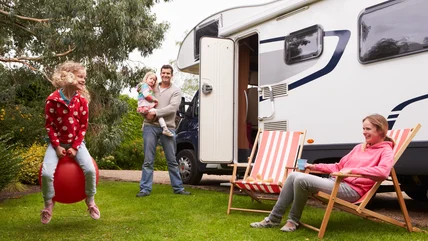
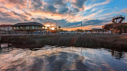
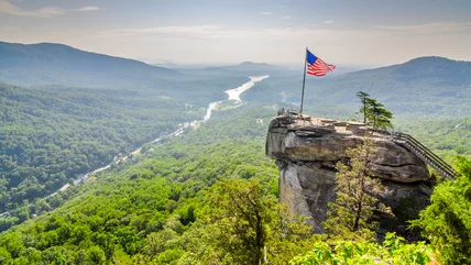
Go beyond volleyball and basketball at this luxurious RV resort in Myrtle Beach, with activities like rock climbing, a water slide to a tiki bar, and karaoke.
Balancing fashion with function can be difficult, especially regarding what to wear on a plane. But many agree it’s important to avoid this type of footwear.
Although it might seem odd at first, there’s a perfectly logical reason why you sometimes see flight attendants spraying an aerosol in the cabin after landing.
There are a lot of "Italian" dishes that don't exist in Italy, including this popular one. Luckily, there's a close equivalent that'll satisfy your craving.
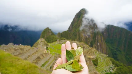
Hiking to Machu Picchu is a dream experience, but its high altitude can put a damper on your plans. Try this local tea to help fight off altitude sickness.
Some people swear that alkaline water makes you use the bathroom less frequently. But is this true? A doctor talks to us exclusively about this TikTok hack.
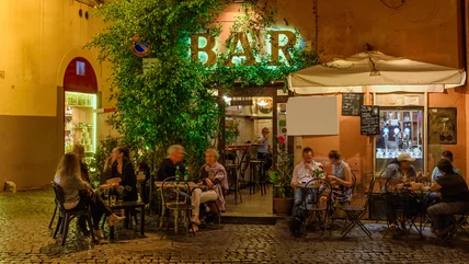
You might associate bars with free-flowing alcohol, but that’s not always true. Here’s what a bar really means in Italy – and where to go to party instead.
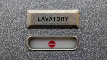
Flight attendants notice some pretty bad behavior on planes, from noisy video games or phone calls to excessive drinking, but this stinky habit is the worst.
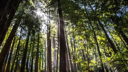
Escape the crowds and get your fill of mystical redwood trees, beautiful flowers and berry bushes, and adorable wildlife at this awe-inspiring California park.
We all hate airport delays that prevent us from getting on with our vacation or visiting friends and family. That's why you should avoid flights at this time.
The humble passport is integral to the travel experience. A dodgy picture can mess up the application process, so leave these items in the closet on photo day.
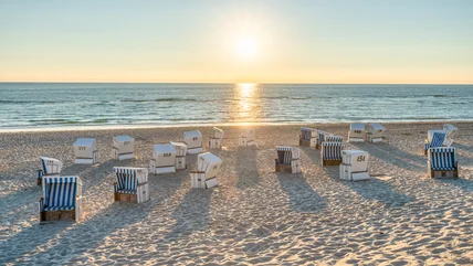
Shake up your bustling routine and relax with miles of sandy beaches, gorgeous views, invigorating hikes, and fresh oysters at this stunning island in Germany.
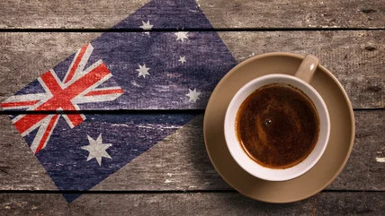
This city in Australia is world-renowned for its coffee culture. But don't take our word for it: Samantha Brown agrees that you have to try their "magic" brew.
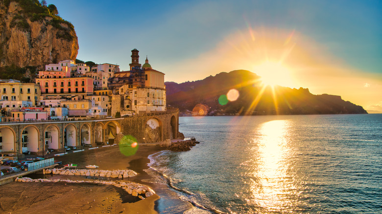
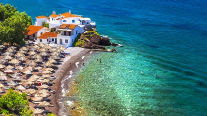
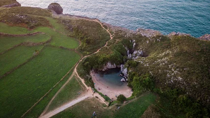
Europe is jam-packed with iconic attractions and stunning landmarks, but only one beautiful beach gets the prestige of being the smallest on the planet.
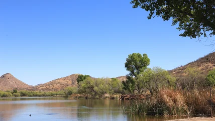
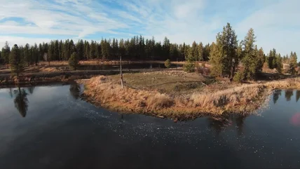
If your idea of paradise is hiking in quiet woods and watching wildlife over tranquil lakes, then this Pacific Northwest refuge has everything you want.