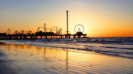
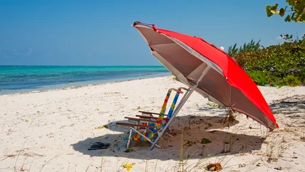
Nothing ruins a beach day quicker than a bad smell, and one Texas seaside destination has gained itself a decidedly pungent reputation in recent years.
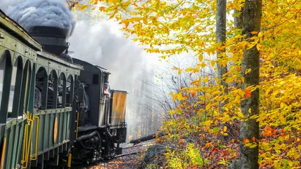
Ride the rails deep into the mountains of West Virginia on a historic line that is as much about heritage as it is the magnificent natural surroundings.
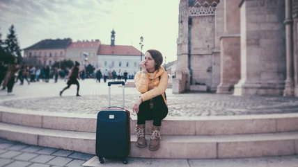
You might think that lining up the espressos is a surefire way to fight off travel fatigue, but professional globetrotter Samantha Brown has other ideas.
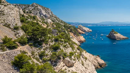
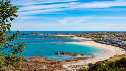
You won't want to pass over this underrated beach in Europe, where you can escape the crowds and relax after a challenging yet rewarding clifftop hike.
The words "two-star hotel" don't evoke thoughts of a romantic French getaway, but Rick Steves shares some upsides to booking a lower-rated accommodation.
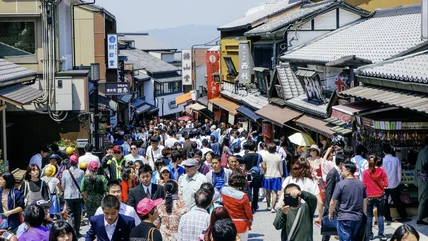
If you're traveling to Kyoto, Japan, certain areas will be off limits. Overtourism has led to the harassment of certain residents, and Kyoto is cracking down.
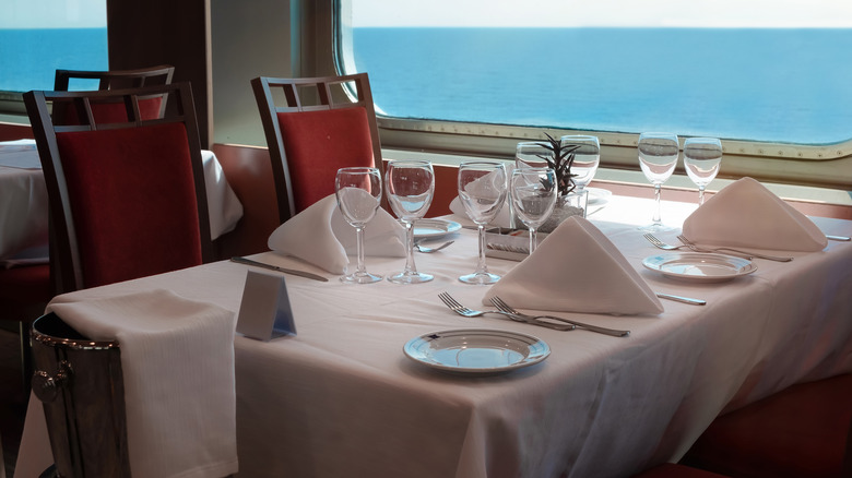
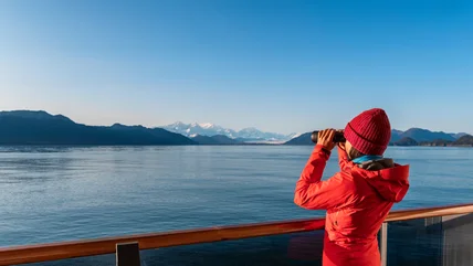
Taking a cruise to Alaska is a bucket list activity, but when is the best time to go? Here's everything you need to know about the pros and cons of each season.
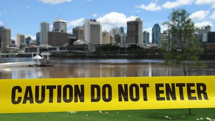
You might want to think twice about going for a casual swim in the Brisbane River. Fortunately, there are other ways to enjoy the waterway more safely.
If there's one thing to know about Singapore, it's that there are a lot of rules - both official and unspoken. Here's one to note when visiting a hawker center.
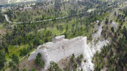
Covering almost 1,000 acres, the first-ever Nebraska state park is a dream for outdoor lovers, including an epic bike trail, 100-acre lagoon, and axe throwing.
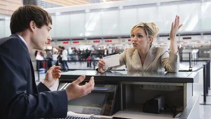
Airports can make people angry, and one study identified three hubs in the U.S. with the most aggravated customers. However, there might be more to the story.
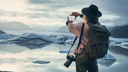
You've seen it on Instagram and the cover of every guidebook, but Rick Steves says this Icelandic tourist magnet may be a little over-priced for what it is.
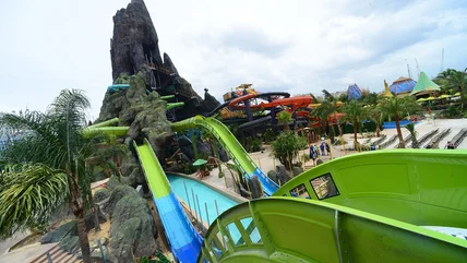
With fun water coasters, snaky slides, and epic drops - as well as great food and fruity ice cream - you won't want to miss one of Florida's best water parks.
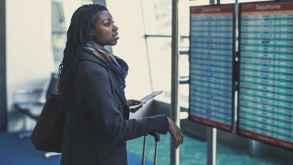
Airports work similarly around the world, offering the comfort of consistency. But you'll find that European airports do this one thing that can cause anxiety.
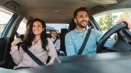
Don't let gas prices hold you back! Here's an important driving hack that will help you save money on fuel so you can make the most of your next epic road trip.
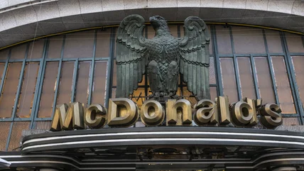
Eating McDonald’s in Europe is usually considered a faux pas. However, the stunning stained glass windows at this location make it worth grabbing a Big Mac.
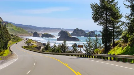
There's nothing quite like a good road trip through beautiful landscapes, and the Pacific Northwest is the perfect destination for your next adventure.
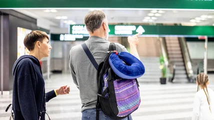
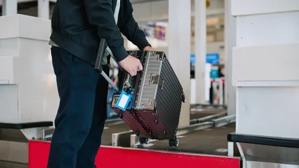
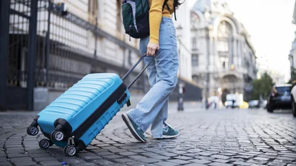
TikTok is filled with viral hacks, but not all of them should be followed. This tip to make your luggage weigh less at the airport can backfire on you.
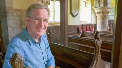
Travel isn't just about seeing incredible landmarks and devouring all the food you can find. As Rick Steves explains, there is something deep going on here.
Love is in the air in Europe and tourists may be shocked at how much PDA is on display. However, not every country on the continent is the same in that regard.
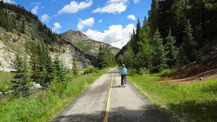
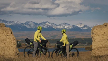
If you're a mountain biker, you have to check out this 3,000-mile trail along the Rocky Mountains. You'll be challenged and rewarded with stunning views.
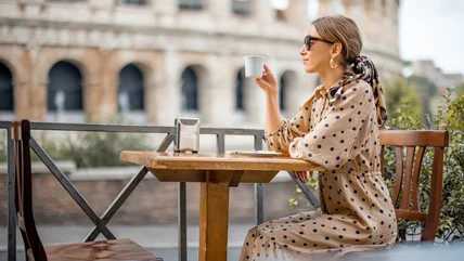
Samantha Brown is no newbie when it comes to international travel. What countries are her absolute favorites? Get ready to be inspired by a real travel guru.